Atlases at Eurocarto – Brno 9-11 September 2026

Session Atlas Cartography, Wednesday 9 September 2026, 11-12:30
(Library Hall, Faculty of Sciences, Masaryk University)

Eric Losang – The Atlas as Stage – Contemporary Atlas Practices and the Reconfiguration of Spatial Knowledge.

Stanislav Krakovskyi – Atlas Explorer: A Research Tool for Atlas Cartography
Oren Raz – The New Digital Atlas of Israel: Transitioning from Print to an Interactive National Cartographic Knowledge Hub

Mela Zuljevic and Iaroslav Boretski – Visualising Conflict/Peace: Atlas as a format for critical, reflexive and multiperspective (geo)visualisation practices

Vit Vozenilek – Three Czech National Atlases: Will There Ever Be a Fourth?

Daria Hollenstein, Carolin Bronowicz, Christian Gamma and Susanne Bleisch – Improving the Accessibility of the Swiss Cadastral Web Map Service – a Visualization Redesign

Session Atlas Cartography, Thursday 10 September 2026, 11-12:30
(Library Hall, Faculty of Sciences, Masaryk University)

Luca Gaia, Andreas Neumann and Lorenz Hurni – Atlas of Switzerland Web: Genesis of a Web Atlas

František Mužík and Jiří Cajthaml – Enhancing a Printed Vltava River Atlas with Augmented Reality

Marcin Wereszczyński and Izabela Gołębiowska – Who does it belong to? How atlas maps show border changes

Irene Sahagún Luis – New printed edition of the National Atlas of Spain: Part VI. Social services and facilities

Christian Wohlert, Andreas Neumann and Lorenz Hurni – Dynamic Contextualization: Redefining User-Driven Base Map Interaction within the Atlas of Switzerland Web

Bamidele Oke, Keskin Merve, Alena Vondráková and Vit Vozenilek – Tactile Atlas of Nigeria: Development of educational cartographic materials about Nigeria for students with visual impairments

ICA Commission on Atlases – Business Meeting, Thursday 10 September 13:00-14:00
(Venue to be announced, Faculty of Sciences, Masaryk University)

AGENDA

Welcome and Introduction
Report on Recent Activities of the Commission
Outlook and Planned Activities for 2027
ICA International Cartographic Conference (ICC) 2027 in Warsaw
– Planned activities and contributions of the Commission
Special Issue of the International Journal of Cartography on Atlases
– Current status, scope and further planning
Further Publication Projects
– New Atlas Cookbook: How to Make a Digital Atlas – Practical guidance for producing digital atlases, including the role of AI in atlas production – outline
Other Matters and Proposals from Commission Members
Next Steps

EuroCarto 2026 Workshop: Atlases as Learning Tools in Higher Education: Concepts and Practice

Date and time: to be announced

Joint (in person)* workshop of the ICA Peace and Conflict Cartography Working Group and the ICA Atlas Commission

Organisers: Mela Zuljevic, Eric Losang and Jana Moser (Leibniz Institute for Regional Geography – IfL), Iaroslav Boretskii (Centre for East European and International Studies, ZOiS)

This joint workshop aims to explore the potential role of atlases as learning tools in higher education by engaging with the productive tensions between different understandings and uses of atlases across disciplines. In particular, we seek to review, discuss, and envision models of atlases that can advance students’ critical, analytical, and creative skills in higher education (e.g., in the political and social sciences and the humanities) through interactive educational formats. Starting from examples introduced by the workshop organisers and participants, the workshop aims to outline how maps and other atlas materials can be operationalised to engage students with critical questions about seeing and representing the world, its regions, and geospatial data. In doing so, it seeks to identify specific directions for translating these critical questions into learning formats, both when conceptualising new (especially digital) atlases and when reactivating existing ones.

By engaging with practical materials and a set of critical questions related to the possible role of atlases in higher education, the workshop also aims to contribute to theoretical discussions on diverse conceptual framings and competing ideas of what an atlas is—or is not. We argue that tensions and contradictions between different disciplinary understandings of atlases render them boundary objects that can provide a fruitful platform for interdisciplinary exchange and critical praxis. In the cartographic and geographic tradition, an atlas is considered a book of maps, a storehouse of geographic information (Monmonier 1981), with a clear taxonomy and structure. However, in the expanded field of visual art and design, there has been a proliferation of thematic, subjective, or research-based atlases, often without a geographic focus, which understand mapping as a strategy to “make the complex accessible” (Abrams and Hall 2006). Such approaches rely less on fixed taxonomy, structure, and sequence; instead, these elements can shift as part of a design process that is often collaborative.

This workshop aims to explore such tensions while focusing on the questions of shared structure and flexible boundaries in relation to atlas taxonomy, sequence and processual character, to articulate potentials of an atlas as an educational and learning tools.

The workshop organisers will begin by introducing a set of critical questions related to the use of atlases as learning tools in higher education, which will help distinguish possible roles of atlases and directions for designing atlas-based educational formats. These questions, roles, and directions will focus on the potential of atlases for discussing geospatial topics with students in the social sciences, arts, and humanities, as well as in interdisciplinary contexts that can benefit from critically engaging with geovisualisations. The organisers will introduce these questions by reflecting on their experience with the recently developed atlas titled Visualising Conflict/Peace. This digital atlas (visualisingconflictpeace.de) gathers research cases on diverse topics related to conflict and cooperation, such as contested borders, slow violence, or war trauma, in Eastern Europe, Central Asia, in South Caucasus. In particular, the organisers will address how this atlas translates into learning tools through its Cases, Readings and a Toolbox.

Workshop Format

After a short introduction (10 minutes) by the organisers, participants will be divided into smaller groups to discuss other examples of activating atlases as learning tools, with the aim of identifying specific roles and directions for conceptualising new atlas-based educational formats. Each participant is invited to prepare a three-minute presentation of an atlas they consider representative of the tensions and potentials addressed in the workshop. For example, participants may bring atlases that could serve as tools for teaching critical cartography, mapping, and visualisation, or present conceptual approaches to operationalising atlases for the critical viewing, reading, and making of maps. Historical or contemporary examples in print, multimedia, or digital formats are welcome, especially those focused on visualising topics such as conflict, peace, political geography, cultural memory, socio-economic relations, and environmental concerns.

The presentations will be followed by a group discussion (30 minutes). Moderators will guide the conversation by highlighting different understandings and tensions, with the aim of identifying a shared structure and flexible boundaries for what an atlas might be. After these discussions, the groups will come together to formulate key questions that atlas-based learning should address (15 minutes). In the second part of the workshop, participants will engage in a co-design process (45 minutes), working again in groups to envision and outline specific formats and directions for atlases as learning tools. The final session (30 minutes) will bring these insights together and reflect on the productive interdisciplinary tensions and potentials of atlases as boundary objects in education.

Registration

Please fill in the form below. Registration deadline is July 15th, 2026.The participation in the workshop is free. The preferred number of participants is 15.

Please make sure to register for the Eurocarto event. This is a prerequisite for participating in the workshop.

ICA Map Awards 2025: Winners in the Atlas Category

We are pleased to congratulate the winners of the ICA Map Awards in the Atlas category, presented during the International Cartographic Exhibition at the 32nd International Cartographic Conference (ICC 2025) in Vancouver, Canada.

The Jury Award in the Atlas category was presented to Cartes Marines (France).

Cover Cartes Marines

Le Breton, Marine (2023): Cartes marines: Poésie du littoral français en 130 cartes. Texts edited by Denis Roland, preface by Miossec. Vanves: Éditions E/P/A. 309 pp. ISBN 978-2-37671-165-0.

Jury: “This atlas is special because it brings together cartography, literature, and poetry in a unique way. Unlike conventional nautical charts that serve purely navigational purposes, Cartes Marines transforms the French coastline into a space of imagination and emotion. The book combines 130 maps with poetic texts, offering a fresh perspective on the maritime world: not only as a geographic reality but also as a source of cultural meaning and inspiration. What makes it stand out is the aesthetic and narrative dimension of the maps. They are not merely technical representations of coasts, depths, and ports, but artistic interpretations that connect the landscape to memory, history, and the senses. By doing so, the atlas blurs the line between science and art, and between data and storytelling”.

The Popular Vote Award went to the Atlas of Finance: Mapping the Global Story of Money

Atlas of Finance

Wójcik, Dariusz et al. (2024): Atlas of Finance: Mapping the Global Story of Money. Maps and graphics by James Cheshire and Oliver Uberti. New Haven & London: Yale University Press. ISBN 978-0-300-25305-4.

ICC 2025 Vancouver – Preconference Workshop

Atlases and Maps in Dialogue – Design in Transition
Workshop of the ICA Commissions on Map Design and Atlases

Date: 17.08.2025, 12:00-15:30

Venue: Vancouver Convention Centre

Duration: 3 hours (2 x 75 minutes with breaks)

Format:

  • Short presentations (5×5 minutes each)
  • Group discussions
  • Collaborative activities

Join us in Vancouver at a FREE pre-conference workshop exploring the interplay between atlases and map design!

Atlases and maps are more than just tools for orientation and data visualization. They reflect the cultural tensions, values, and perspectives of their societies at a given time. Atlas production and map design also drive technological innovation in spatial communication.

This workshop offers you the opportunity to delve into the fascinating relationship between atlases and map design to examine the important role this relationship plays in the evolution of cartographic innovation during these geopolitically rambunctious times.

Call for Contribution

The workshop will consist of two parts.

  • In the first part, we’ll explore how atlases influence modern map design through layouts, color schemes, and symbolism.
  • In the second half we will investigate how innovations in map design techniques influence the appearance and structure of atlases.

At the beginning of each session there will be a block of 5 short presentations (5-7 minutes each) in which participants can present their experiences and work reports or theoretical reflections on the respective topics. Please send us your ideas and perspectives for a short presentation as a short abstract (max 200 words) via the workshop website.

18. International Atlas Days

German-language conference that addresses (not only) collectors of atlases.
[National conference co-organised by the Int. Atlastage Network and the Commision on Atlascartography of the German Cartographic Society]

Date: 26-28. April 2024
Venue: Herzogin Anna Amalia Bibliothek, Weimar, Germany

Information: https://atlastage.net

Joint Commission Symposium 2023 in Olomouc CZE

April 3–5, 2023
Olomouc, Czechia

Atlases: Their Design and Use
Flyer, pdf

The famous gathering in the medevial city of Olomouc is experiencing a revival!
Vit Vozenilek and his team are preparing a three-days symposium with the three ICA Commissions on Atlases, Design, and User Experience.

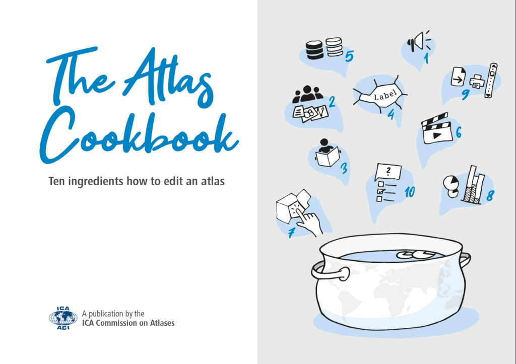
There will be a special Atlas afternoon event, where we will present some interesting atlas products, a database for National atlases, and — surprize, surprize — The Atlas Cookbook 😉

The deadline for your contribution (abstract) will be on Friday, 10th February 2023. Please register on https://icaspring2023.upol.cz/oral.