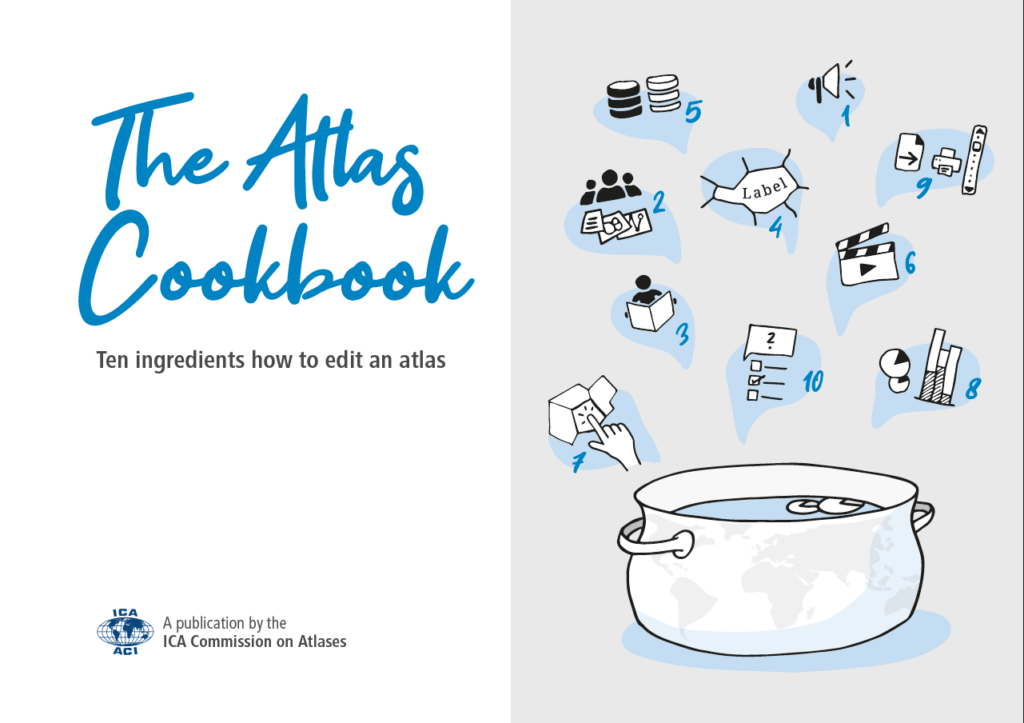
New Publication
The Atlas Cookbook – Ten ingredients how to edit an atlas (pdf, 20MB)
[administered by ICA Commission on Atlases; ed: René Sieber]
published in April 2023
Cover
Content
- Introduction
Vit Vozenilek and René Sieber - Organization and Marketing
Eric Losang - Editorial Aspects
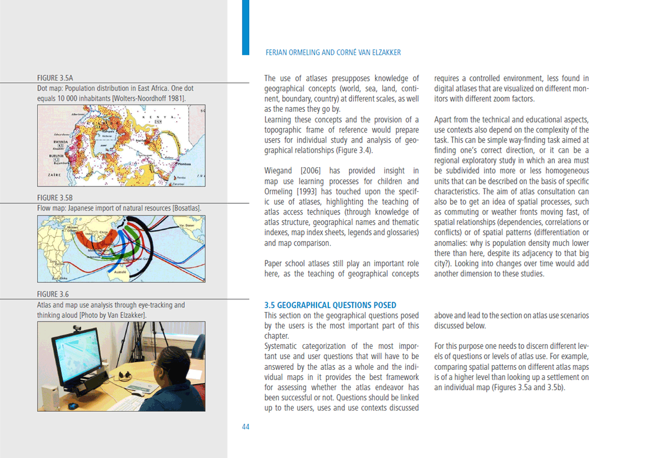
Hartmut Asche - Atlas Use
Ferjan Ormeling and Corné van Elzakker
- Thematic and Geographic Content
Károly Kocsis, Mátyás Márton and Peter Jordan - Data Management
Tim Trainor
- Multimedia Elements
Vit Vozenilek and Rostislav Netek
- Atlas GUI and Layout Design
René Sieber
- Map Design and Visualization
Ernst Spiess - Atlas Functionality
René Sieber and Juliane Cron - Prototyping and Evaluation
R. Eric Kramers
Teaser